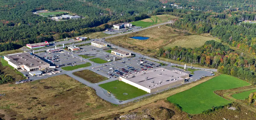
Osprey Village a retail shopping hub on the South Shore, NS. Photo: MODL
The Municipality of the District of Lunenburg (MODL) has taken another step forward in the digital era by taking zoning information online.
On Tuesday the MODL launched its online zoning map which has greatly improved access to that type of information. Prior to it’s launch, anyone seeking zoning information had to do so over the phone or in person.
Most of the municipality is unzoned land but there are eight designated areas that have zoning provisions, they include; Hemford Forest, Princes Inlet, Oakland, Blockhouse, Riverport & District, Hebbville, Osprey Village, and Lunenburg Municipal Industrial Area.

A screenshot of the new online zoning map launched by the MODL. Photo: MODL
“This user-friendly tool provides zoning and planning-related information for landowners, property buyers, realtors, and others seeking property information with just a few clicks,” says Mayor Carolyn Bolivar-Getson. “We are always seeking to make information more accessible to the public, and believe this step is an important one, especially as we move towards municipal wide planning as part of our MODL2040 project.”
Users can find zoning information by selecting a property on the map or they can search for it using a Parcel Identification Number (PID) or Assessment Account Number (AAN). In addition to info on property zoning designation, the website will also provide a link to the relevant bylaws that govern each particular zoning category.
Coincidently the Town of Lunenburg launched a similar platform just two days earlier that offers the same type of information.


